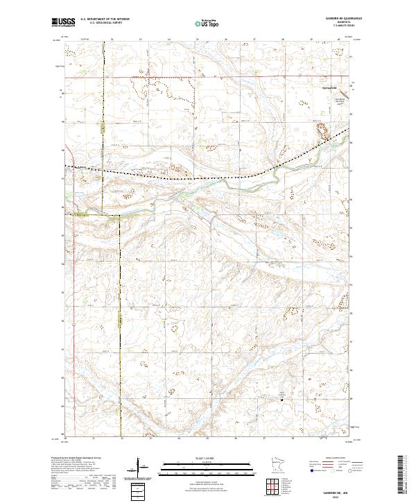
2022 Map of Sanborn NE
USGS Topo · Published 2022About this map
The Cottonwood River and its various tributaries define the rural landscape of this Brown County region, where agricultural road grids intersect with meandering waterways. The northeastern corner of the map is anchored by Springfield, which serves as a local hub complete with the Springfield Municipal Airport. To the west, the smaller settlement of Sanborn sits near the junction of several county roads and the river valley. The terrain is marked by distinct drainages like Coal Mine Cr and Mound Cr, which break the regularity of the section lines. Genealogical interest is centered on the Christ Lutheran Cem located in the southern portion of the quadrangle, providing a specific point of reference for local family history. The mapping also details the boundary between Redwood, Brown, and Cottonwood counties, illustrating how these administrative lines follow the township and range system.
Find a feature on this map
28 named features on this map. Tap any name to fly to it.
Don’t see what you’re looking for? This feature index may not catch every label — zoom into the map to look around manually.
Map Details
Editions of this 2022 Sanborn NE Map
This is the sole edition of this map. No revisions or reprints were ever made.
Other maps of this area

1953 · Morgan
USGS Topo · 1:62,500

1953 · New Ulm
USGS Topo · 1:250,000

1957 · New Ulm
USGS Topo · 1:250,000

1958 · New Ulm
USGS Topo · 1:250,000

1967 · New Ulm
USGS Topo · 1:250,000

1967 · Wanda
USGS Topo · 1:24,000

1967 · Sanborn
USGS Topo · 1:24,000

1967 · Clements SE
USGS Topo · 1:24,000

1967 · Sanborn SE
USGS Topo · 1:24,000

1967 · Springfield
USGS Topo · 1:24,000