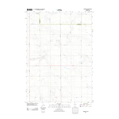
2013 Map of Sanborn SE
USGS Topo · Published 2013About this map
Red Rock Dells and a network of meandering waterways characterize this portion of the Minnesota prairie along the border of Brown and Cottonwood counties. The landscape is defined by the drainage patterns of the Little Cottonwood River in the north and the N Fork Watonwan River as it flows toward the Watonwan River in the south. These river systems, including the smaller Mound Cr, create subtle topographic relief against the grid of section-line roads like Co HWY-10 and MN-30. For local historians and genealogists, the Delton Cem stands as a primary point of interest near the fork of the river, representing the settled heritage of this agricultural region. The map reflects a highly organized rural infrastructure where modern highways like Us-71 overlay long-established township boundaries.
Find a feature on this map
27 named features on this map. Tap any name to fly to it.
Don’t see what you’re looking for? This feature index may not catch every label — zoom into the map to look around manually.
Map Details
Editions of this 2013 Sanborn SE Map
This is the sole edition of this map. No revisions or reprints were ever made.
Other maps of this area

1953 · New Ulm
USGS Topo · 1:250,000

1954 · Fairmont
USGS Topo · 1:250,000

1957 · New Ulm
USGS Topo · 1:250,000

1958 · New Ulm
USGS Topo · 1:250,000

1958 · Fairmont
USGS Topo · 1:250,000

1967 · New Ulm
USGS Topo · 1:250,000

1967 · Sanborn
USGS Topo · 1:24,000

1967 · Sanborn SE
USGS Topo · 1:24,000

1967 · Springfield
USGS Topo · 1:24,000

1967 · Sanborn NE
USGS Topo · 1:24,000