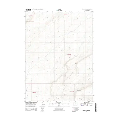
2015 Map of Sand Butte Rim NW
USGS Topo · Published 2015About this map
Patrick Draw and the elevated ridges of Sixmile Rim define the topography of this high-desert landscape in Sweetwater County. The map details a region where natural drainages and massive rimrock formations dominate the environment, punctuated by industrial and transit corridors. The presence of Brady Plant Rd and CR-24 suggests the intersection of energy production and rural infrastructure common in this part of Wyoming. Further south, the terrain rises significantly toward Sand Butte Rim and the corresponding Long Draw, showcasing the intricate contouring of the High Desert basins and the survey lines that mark this section of the Public Land Survey System.
Find a feature on this map
12 named features on this map. Tap any name to fly to it.
Don’t see what you’re looking for? This feature index may not catch every label — zoom into the map to look around manually.
Map Details
Editions of this 2015 Sand Butte Rim NW Map
This is the sole edition of this map. No revisions or reprints were ever made.
Other maps of this area

1954 · Rock Springs
USGS Topo · 1:250,000

1958 · Rock Springs
USGS Topo · 1:250,000

1962 · Rock Springs
USGS Topo · 1:250,000

1968 · Cooper Ridge NE
USGS Topo · 1:24,000

1968 · Sand Butte Rim NW
USGS Topo · 1:24,000

1968 · Bitter Creek
USGS Topo · 1:24,000

1968 · Black Buttes
USGS Topo · 1:24,000

1968 · Pine Butte
USGS Topo · 1:24,000

1968 · Sand Butte Rim SE
USGS Topo · 1:24,000
1968 · Burley Draw
USGS Topo · 1:24,000