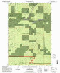
1994 Map of Sand Mountain
USGS Topo · Published 1997About this map
St Joe National Forest dominates this high-country landscape in Idaho's Latah County, managed in part by the Clearwater National Forest. This area is defined by its deep drainages and heavy timber, where the Palouse River and the North Fork Palouse River carve through the mountain terrain. Historical resource extraction is evident through several named claims, including the Luella Mine, Last Chance Mine, and Olson Mine. These sites sit amidst a complex network of gulches with evocative names like Strychnine and Hoodoo Gulch. For those navigating the backcountry, the Sand Mountain Trail provides a primary route across the slopes of Sand Mountain and Strychnine Ridge. The map details a transition between high ridges like Mice Mtn and lower areas such as Graves Meadow, illustrating the industrial and recreational footprint on this corner of Idaho's forest lands during the late twentieth century.
Find a feature on this map
49 named features on this map. Tap any name to fly to it.
Don’t see what you’re looking for? This feature index may not catch every label — zoom into the map to look around manually.
Map Details
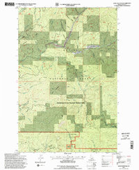
Editions of this 1994 Sand Mountain Map
2 editions found
Other maps of this area

1955 · Pullman
USGS Topo · 1:250,000

1955 · Spokane
USGS Topo · 1:250,000

1957 · Emida
USGS Topo · 1:62,500

1958 · Spokane
USGS Topo · 1:250,000

1958 · Pullman
USGS Topo · 1:250,000

1961 · Deary
USGS Topo · 1:62,500

1961 · Fernwood
USGS Topo · 1:62,500

1961 · Bovill
USGS Topo · 1:62,500

1981 · St Maries
USGS Topo · 1:100,000

1981 · Potlatch
USGS Topo · 1:100,000