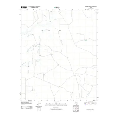
2010 Map of Sanders Hollow
USGS Topo · Published 2010About this map
The Tongue River and its various tributaries define this section of West Texas ranching country in the early twenty-first century. This landscape is characterized by its reliance on dispersed water infrastructure, with numerous family-named landmarks such as the SandersHollow Windmill, Carolyn Windmill, and Big E Windmill indicating the vital role of groundwater for livestock across the plains. The terrain is marked by distinct features like Sanders Hollow and Darden Canyon, where the surface water of Cottonwood Creek and Fishhole Creek eventually feeds into the larger river systems.
Find a feature on this map
29 named features on this map. Tap any name to fly to it.
Don’t see what you’re looking for? This feature index may not catch every label — zoom into the map to look around manually.
Map Details
Editions of this 2010 Sanders Hollow Map
This is the sole edition of this map. No revisions or reprints were ever made.
Other maps of this area

1954 · Lubbock
USGS Topo · 1:250,000

1967 · Dickens North
USGS Topo · 1:24,000

1968 · East Afton
USGS Topo · 1:24,000

1968 · Roaring Springs
USGS Topo · 1:24,000

1968 · Russellville
USGS Topo · 1:24,000

1968 · Dumont
USGS Topo · 1:24,000

1968 · China Canyon
USGS Topo · 1:24,000

1968 · East Afton NE
USGS Topo · 1:24,000

1968 · Sanders Hollow
USGS Topo · 1:24,000

1968 · Afton
USGS Topo · 1:24,000