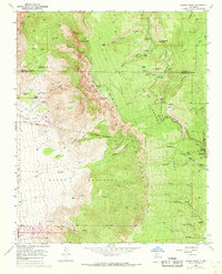
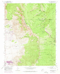
1961 Map of Sandia Crest
USGS Topo · Published 1969About this map
The high ridges of Sandia Crest and Sandia Peak dominate this topographical study of the mountains east of Albuquerque during the early 1960s. This map documents a transitional period for the area, balancing industrial history at the La Luz Mine with the growth of mountain recreation at the La Madera Ski Area and Tree Spring Winter Sports Area. The land is defined by long-standing Spanish and Pueblo boundaries, including the Sandia Pueblo Grant Bdy and the Elena Gallegos Grant Boundary. Remote outposts like the Juan Tabo Cabin, Kiwani Cabin, and Jaral Ranger Station are connected by a network of steep routes such as the La Luz Trail and the Sandia Crest Trail (Pack). In the lower elevations, small pockets of settlement and local history are marked by the Ellis Ranch and the Cañoncito Cemetery.
Find a feature on this map
61 named features on this map. Tap any name to fly to it.
Don’t see what you’re looking for? This feature index may not catch every label — zoom into the map to look around manually.
Map Details
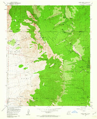
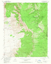
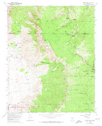
Editions of this 1961 Sandia Crest Map
5 editions found
Other maps of this area

1888 · Bernalillo
USGS Topo · 1:125,000

1889 · Albuquerque
USGS Topo · 1:125,000

1892 · San Pedro
USGS Topo · 1:125,000

1893 · Albuquerque
USGS Topo · 1:125,000

1934 · Alameda
USGS Topo · 1:24,000

1934 · East Albuquerque
USGS Topo · 1:24,000

1938 · Albuquerque
USGS Topo · 1:62,500

1954 · Sandia Crest
USGS Topo · 1:24,000

1954 · Alameda
USGS Topo · 1:24,000

1954 · Placitas
USGS Topo · 1:24,000
Featured Places
- Albuquerque, NM
- Cedar Crest, NM
- Evergreen Hills Subdivision, NM
- Cooper LS Ranch, NM
- Glenwood Hills, Albuquerque