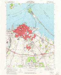
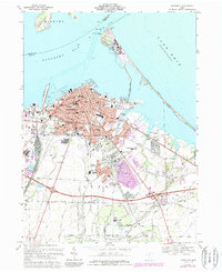
1969 Map of Sandusky
USGS Topo · Published 1971About this map
Sandusky and its bustling Lake Erie waterfront are the centerpiece of this 1969 survey, detailing a period of significant urban density and technological expansion. The downtown grid is dense with civic infrastructure, from the Good Samaritan Hospital and Providence Hospital to numerous parish centers like Holy Angels Ch and St Marys Ch. Extending northward, the Cedar Point Causeway Toll Road links the mainland to the iconic Amusement Park and its surrounding beaches.
Find a feature on this map
81 named features on this map. Tap any name to fly to it.
Don’t see what you’re looking for? This feature index may not catch every label — zoom into the map to look around manually.
Map Details
Editions of this 1969 Sandusky Map
5 editions found
Other maps of this area

1901 · Put-In-Bay
USGS Topo · 1:62,500

1901 · Bellevue
USGS Topo · 1:62,500

1903 · Bellevue
USGS Topo · 1:62,500

1903 · Put In Bay
USGS Topo · 1:62,500

1904 · Sandusky
USGS Topo · 1:62,500

1916 · Kelleys Island
USGS Topo · 1:62,500

1919 · Kelleys Island
USGS Topo · 1:62,500

1956 · Toledo
USGS Topo · 1:250,000

1959 · Kimball
USGS Topo · 1:24,000

1959 · Milan
USGS Topo · 1:24,000