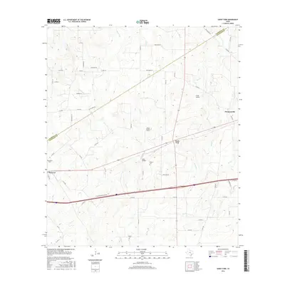
2016 Map of Sandy Fork
USGS Topo · Published 2016About this map
Thompsonville and the community of Sandy Fork anchor this rural landscape along the boundary of Caldwell and Gonzales counties. The terrain is defined by a dense network of seasonal drainages and named creek systems, including Scruggs Creek, Reed Creek, and Smith Creek, which carve into local features like Chalk Hollow and Long Hollow. This 2016 survey illustrates the persistent agricultural and rural character of the region, where family-linked landmarks such as the Fuillilove Cemetery and Haschke Cemetery serve as important nodes for genealogical research. The presence of private aviation strips like Flying W Ranch Airport and Gottwald Field indicates the specialized land use common in this part of South Central Texas, while the western edge of the map includes the settlement of Harwood situated along major transit corridors.
Find a feature on this map
57 named features on this map. Tap any name to fly to it.
Don’t see what you’re looking for? This feature index may not catch every label — zoom into the map to look around manually.
Map Details
Editions of this 2016 Sandy Fork Map
This is the sole edition of this map. No revisions or reprints were ever made.
Other maps of this area

1901 · Flatonia
USGS Topo · 1:125,000

1911 · San Marcos
USGS Topo · 1:125,000

1919 · San Marcos
USGS Topo · 1:125,000

1925 · San Marcos 1-d
USGS Topo · 1:48,000

1925 · San Marcos 4-a
USGS Topo · 1:48,000

1929 · Luling
USGS Topo · 1:62,500

1930 · Lockhart
USGS Topo · 1:62,500

1953 · Seguin
USGS Topo · 1:250,000

1958 · Seguin
USGS Topo · 1:250,000

1959 · Ottine
USGS Topo · 1:24,000