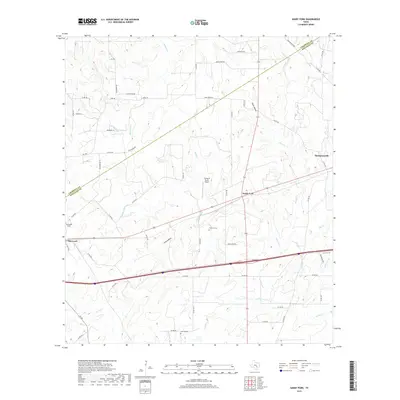
2019 Map of Sandy Fork
USGS Topo · Published 2019About this map
Thompsonville and the namesake Sandy Fork settlement anchor this landscape along the border of Caldwell and Gonzales Counties. The area is defined by a dense network of creek drainages, including Scruggs Cr, Reed Cr, and Dry Run, which carve through the terrain near notable depressions like Chalk Hollow and Long Hollow. These watercourses historically dictated the placement of early road networks, such as Silvermine Rd and Wagonwheel Rd, which connect the small rural communities and local family holdings.
Find a feature on this map
62 named features on this map. Tap any name to fly to it.
Don’t see what you’re looking for? This feature index may not catch every label — zoom into the map to look around manually.
Map Details
Editions of this 2019 Sandy Fork Map
This is the sole edition of this map. No revisions or reprints were ever made.
Other maps of this area

1901 · Flatonia
USGS Topo · 1:125,000

1911 · San Marcos
USGS Topo · 1:125,000

1919 · San Marcos
USGS Topo · 1:125,000

1925 · San Marcos 1-d
USGS Topo · 1:48,000

1925 · San Marcos 4-a
USGS Topo · 1:48,000

1929 · Luling
USGS Topo · 1:62,500

1930 · Lockhart
USGS Topo · 1:62,500

1953 · Seguin
USGS Topo · 1:250,000

1958 · Seguin
USGS Topo · 1:250,000

1959 · Ottine
USGS Topo · 1:24,000