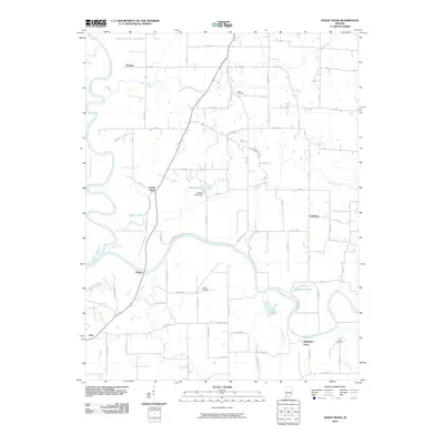
2010 Map of Sandy Hook
USGS Topo · Published 2010About this map
Sandy Hook and Highbank Town sit within a landscape defined by the winding course of the White River and its major southern tributary, the East Fork White River. This 2010 survey reveals a rural topography where agricultural land is segmented by an extensive grid of numbered county roads, yet still punctuated by isolated settlements like Cumback and Rogers. The presence of Bethel Cemetery, Arnold Cemetery, and Logan Cemetery provides specific points of interest for those researching local family lineage. Water management and drainage are central to the area's character, evidenced by features such as the Wonder Pond Dam and numerous small bodies of water like Horseshoe Pond, Chew Pond, and Jackson Pond. The confluence of rivers in the western portion of the map creates a complex floodplain that has long dictated the placement of roads and small communities such as Arda and Thomas.
Find a feature on this map
81 named features on this map. Tap any name to fly to it.
Don’t see what you’re looking for? This feature index may not catch every label — zoom into the map to look around manually.
Map Details
Editions of this 2010 Sandy Hook Map
This is the sole edition of this map. No revisions or reprints were ever made.
Other maps of this area

1902 · Ditney
USGS Topo · 1:125,000

1903 · Velpen
USGS Topo · 1:62,500

1903 · Petersburg
USGS Topo · 1:62,500

1944 · Montgomery
USGS Topo · 1:24,000

1944 · Glendale
USGS Topo · 1:24,000

1944 · Washington
USGS Topo · 1:24,000

1944 · Monroe City
USGS Topo · 1:24,000

1944 · Wheatland
USGS Topo · 1:24,000

1945 · Sandy Hook
USGS Topo · 1:24,000

1956 · Vincennes
USGS Topo · 1:250,000