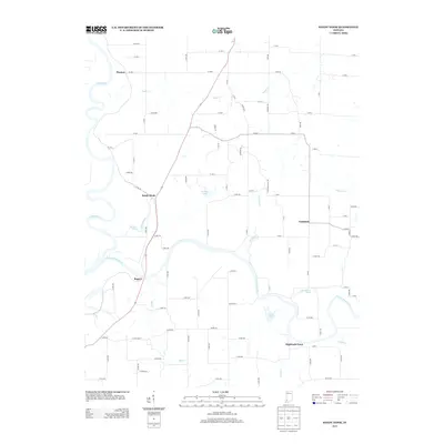
2013 Map of Sandy Hook
USGS Topo · Published 2013About this map
The confluence of the White River and the E Fork White River anchors this southwestern Indiana landscape, where the shifting river channels have carved numerous oxbows and water bodies. Small settlements like Sandy Hook and Rogers are situated near the banks, illustrating the historic reliance on these waterways for transport and irrigation. The terrain is characterized by its complex hydrology, featuring numerous named ponds such as Jackson Pond, Wonder Pond, and Horseshoe Pond, which likely serve as remnants of former river courses.
Find a feature on this map
86 named features on this map. Tap any name to fly to it.
Don’t see what you’re looking for? This feature index may not catch every label — zoom into the map to look around manually.
Map Details
Editions of this 2013 Sandy Hook Map
This is the sole edition of this map. No revisions or reprints were ever made.
Other maps of this area

1902 · Ditney
USGS Topo · 1:125,000

1903 · Velpen
USGS Topo · 1:62,500

1903 · Petersburg
USGS Topo · 1:62,500

1944 · Montgomery
USGS Topo · 1:24,000

1944 · Glendale
USGS Topo · 1:24,000

1944 · Washington
USGS Topo · 1:24,000

1944 · Monroe City
USGS Topo · 1:24,000

1944 · Wheatland
USGS Topo · 1:24,000

1945 · Sandy Hook
USGS Topo · 1:24,000

1956 · Vincennes
USGS Topo · 1:250,000