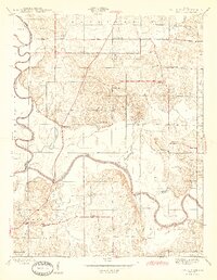
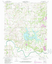
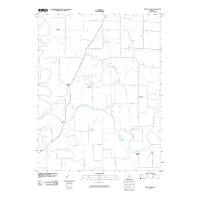
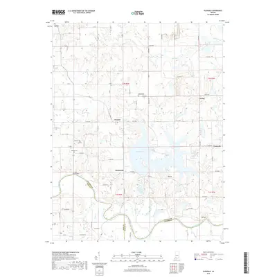
1958 Map of Sandy Hook
USGS Topo · Published 1976About this map
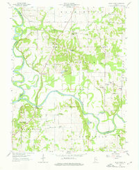
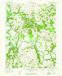
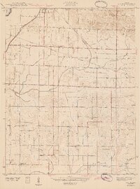
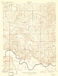
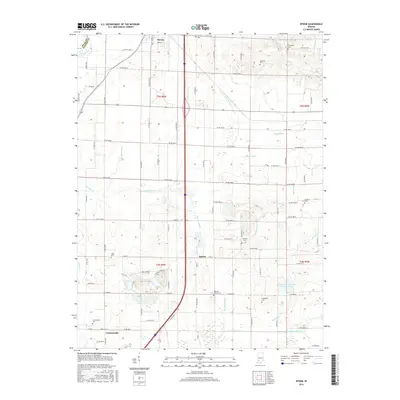
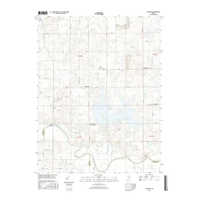
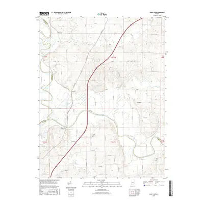
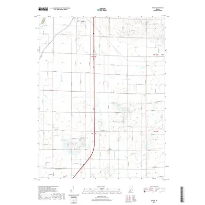
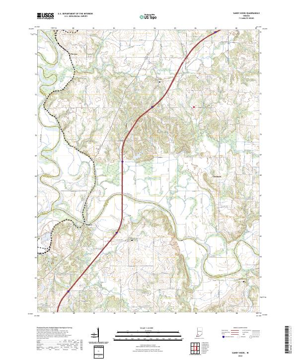
The East Fork White River and its confluence with the White River dominate this landscape, where the shifting waters have carved out numerous oxbow features like Horseshoe Pond, Chew Pond, and Jackson Pond. This mid-century survey documents the rural character of Daviess and Pike counties, highlighting a network of country schools such as Letts Sch and Scudder Sch alongside numerous community landmarks. The extractive economy of the era is evident in the Strip Mines located south of the Central New York railroad line.
Find a feature on this map
44 named features on this map. Tap any name to fly to it.
Don’t see what you’re looking for? This feature index may not catch every label — zoom into the map to look around manually.
Map Details
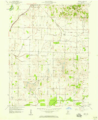
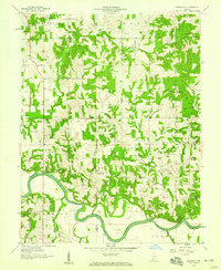
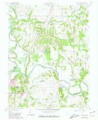
Editions of this 1958 Sandy Hook Map
Historical Maps of Rogers Through Time
23 maps found
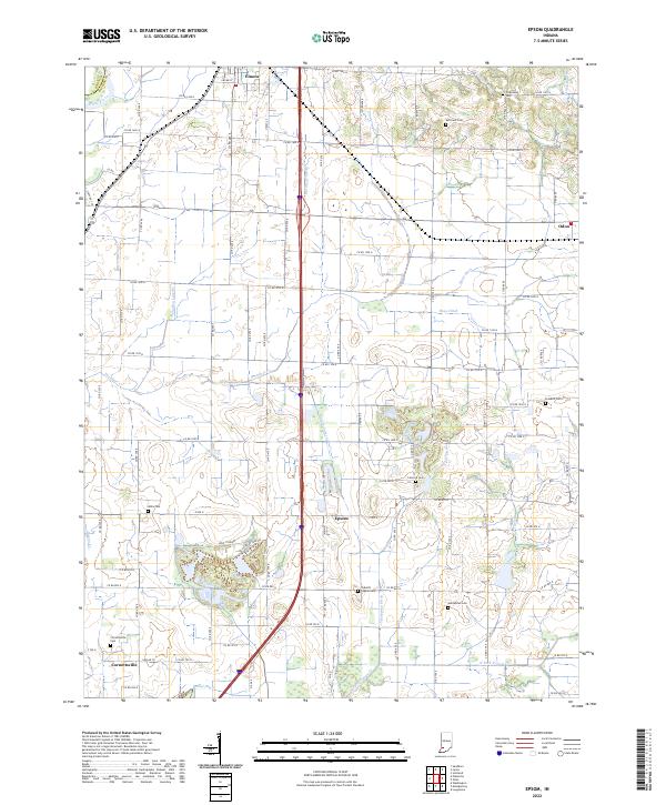
1943 Epsom
Daviess County, IN
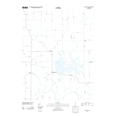
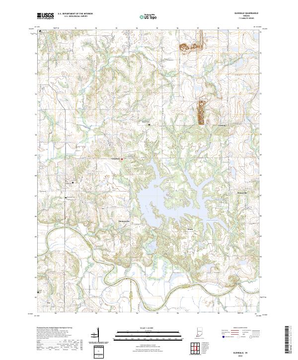
1944 Glendale
Daviess County, IN
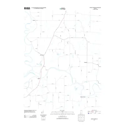
1945 Sandy Hook
Daviess County, IN
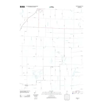
1957 Epsom
Daviess County, IN
1958 Glendale
Daviess County, IN
1958 Sandy Hook
Daviess County, IN
1974 Glendale
Daviess County, IN
1978 Epsom
Daviess County, IN
2010 Epsom
Daviess County, IN
2010 Glendale
Daviess County, IN
2010 Sandy Hook
Daviess County, IN
2013 Epsom
Daviess County, IN
2013 Glendale
Daviess County, IN
2013 Sandy Hook
Daviess County, IN
2016 Epsom
Daviess County, IN
2016 Glendale
Daviess County, IN
2016 Sandy Hook
Daviess County, IN
2019 Epsom
Daviess County, IN
2019 Glendale
Daviess County, IN
2019 Sandy Hook
Daviess County, IN
2022 Epsom
Daviess County, IN
2022 Glendale
Daviess County, IN
2022 Sandy Hook
Daviess County, IN