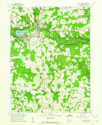
1960 Map of Sandy Lake
USGS Topo · Published 1962About this map
The borough of Stoneboro and the neighboring community of Sandy Lake anchor this 1960s survey of eastern Mercer County. The local economy and landscape are defined by a mix of recreation at the Wesleyan Campground and intensive resource extraction, visible in the numerous oil wells, gas wells, and scattered strip mines that pockmark the terrain. The New York Central Railroad cuts a prominent path through the region, following the course of Sandy Creek as it flows past Oak Hill.
Find a feature on this map
48 named features on this map. Tap any name to fly to it.
Don’t see what you’re looking for? This feature index may not catch every label — zoom into the map to look around manually.
Map Details
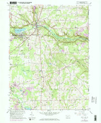
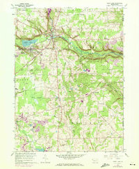
Editions of this 1960 Sandy Lake Map
3 editions found
Other maps of this area

1909 · Franklin
USGS Topo · 1:62,500

1910 · Hilliards
USGS Topo · 1:62,500

1911 · Franklin
USGS Topo · 1:62,500

1911 · Stoneboro
USGS Topo · 1:62,500

1912 · Hilliards
USGS Topo · 1:62,500

1913 · Stoneboro
USGS Topo · 1:62,500

1913 · Mercer
USGS Topo · 1:62,500

1939 · Mercer
USGS Topo · 1:62,500

1943 · Mercer
USGS Topo · 1:62,500

1943 · Stoneboro
USGS Topo · 1:62,500