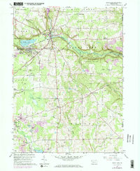
1960 Map of Sandy Lake
USGS Topo · Published 1972About this map
Sandy Lake and the borough of Stoneboro serve as the primary hubs in this western Pennsylvania landscape, where the waters of Sandy Creek and Sawmill Run intersect with the Penn Central railroad lines. The area is defined by a dense network of extraction and rural community life, featuring an expansive Oil Field and numerous Gas Wells to the south and east. Historic iron industry roots are visible at Reeds Furnace near the Venango County line.
Find a feature on this map
46 named features on this map. Tap any name to fly to it.
Don’t see what you’re looking for? This feature index may not catch every label — zoom into the map to look around manually.
Map Details
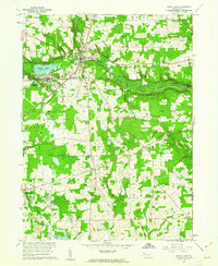
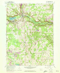
Editions of this 1960 Sandy Lake Map
3 editions found
Other maps of this area

1909 · Franklin
USGS Topo · 1:62,500

1910 · Hilliards
USGS Topo · 1:62,500

1911 · Franklin
USGS Topo · 1:62,500

1911 · Stoneboro
USGS Topo · 1:62,500

1912 · Hilliards
USGS Topo · 1:62,500

1913 · Stoneboro
USGS Topo · 1:62,500

1913 · Mercer
USGS Topo · 1:62,500

1939 · Mercer
USGS Topo · 1:62,500

1943 · Mercer
USGS Topo · 1:62,500

1943 · Stoneboro
USGS Topo · 1:62,500