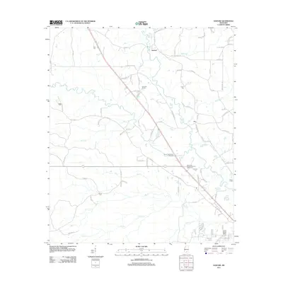
2012 Map of Sanford
USGS Topo · Published 2012About this map
The Bouie River and its numerous tributaries, including McCall Cr and Okatoma Cr, define this landscape north of Hattiesburg during the early 21st century. The settlement of Sanford serves as a local focal point near the northern edge, while the southern reach includes the community around Rawls Springs Baptist Church. This area is characterized by a high density of family and community burial grounds, such as Byrd Cem, Watts Cem, and Edmonson Cem, which offer significant value for genealogical research in Forrest County. Recreation and transportation are centered on the river systems and small-scale infrastructure like Simmons Airport and the Bowie Creek Landing Boat Ramp. The presence of the Shady Cove Recreational Vehicle Campground near the riverbanks suggests a transition toward seasonal tourism and outdoor leisure in the rural areas surrounding the city.
Find a feature on this map
88 named features on this map. Tap any name to fly to it.
Don’t see what you’re looking for? This feature index may not catch every label — zoom into the map to look around manually.
Map Details
Editions of this 2012 Sanford Map
This is the sole edition of this map. No revisions or reprints were ever made.
Other maps of this area

1953 · Hattiesburg
USGS Topo · 1:250,000

1958 · Hattiesburg
USGS Topo · 1:250,000

1964 · Seminary
USGS Topo · 1:24,000

1964 · Hattiesburg
USGS Topo · 1:24,000

1965 · Hattiesburg SW
USGS Topo · 1:24,000

1965 · Eastabuchie
USGS Topo · 1:24,000

1965 · Moselle
USGS Topo · 1:24,000

1965 · Sanford
USGS Topo · 1:24,000

1974 · Sumrall
USGS Topo · 1:24,000

1974 · Oloh
USGS Topo · 1:24,000