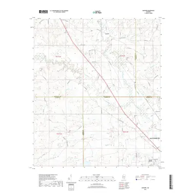
2018 Map of Sanford
USGS Topo · Published 2018About this map
Sanford and the surrounding piney woods landscape of South Mississippi are defined by the convergence of several significant waterways, including the Okatoma River and the Bouie River. This 2018 survey reveals a rural area shaped by its proximity to Hattiesburg to the southeast, with a road network that includes Old Hwy 49 and State Hwy 598. The map is particularly useful for genealogists, as it documents numerous small family and community burial grounds such as Byrd Cem, Lott Cem, and Bryant Cem scattered across the township lines. The settlement at Rawls Springs features the Rawls Springs Baptist Church, serving as a local landmark near the southern edge of the quadrangle. The terrain transitions between river basins, with numerous named tributaries like McCall Cr and Rooty Cr draining the timbered lands.
Find a feature on this map
77 named features on this map. Tap any name to fly to it.
Don’t see what you’re looking for? This feature index may not catch every label — zoom into the map to look around manually.
Map Details
Editions of this 2018 Sanford Map
This is the sole edition of this map. No revisions or reprints were ever made.
Other maps of this area

1953 · Hattiesburg
USGS Topo · 1:250,000

1958 · Hattiesburg
USGS Topo · 1:250,000

1964 · Seminary
USGS Topo · 1:24,000

1964 · Hattiesburg
USGS Topo · 1:24,000

1965 · Hattiesburg SW
USGS Topo · 1:24,000

1965 · Eastabuchie
USGS Topo · 1:24,000

1965 · Moselle
USGS Topo · 1:24,000

1965 · Sanford
USGS Topo · 1:24,000

1974 · Sumrall
USGS Topo · 1:24,000

1974 · Oloh
USGS Topo · 1:24,000