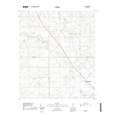
2020 Map of Sanford
USGS Topo · Published 2020About this map
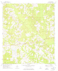
Okatoma Creek and the Bouie River define the watery landscape of this corner of southern Mississippi where four counties — Covington, Jones, Lamar, and Forrest — converge. The northern outskirts of Hattiesburg reach into the southeastern corner of the sheet, anchored by the community of Rawls Springs. This area maintains a network of rural settlements like Sanford and Lux, connected by historic routes such as Old Hwy 49.
Find a feature on this map
73 named features on this map. Tap any name to fly to it.
Don’t see what you’re looking for? This feature index may not catch every label — zoom into the map to look around manually.
Map Details
Editions of this 2020 Sanford Map
This is the sole edition of this map. No revisions or reprints were ever made.
Other maps of this area

1953 · Hattiesburg
USGS Topo · 1:250,000

1958 · Hattiesburg
USGS Topo · 1:250,000
1964 · Seminary
USGS Topo · 1:24,000
1964 · Hattiesburg
USGS Topo · 1:24,000
1965 · Hattiesburg SW
USGS Topo · 1:24,000
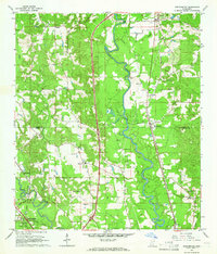
1965 · Eastabuchie
USGS Topo · 1:24,000
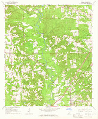
1965 · Moselle
USGS Topo · 1:24,000
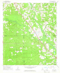
1965 · Sanford
USGS Topo · 1:24,000
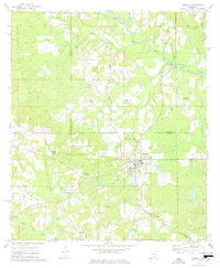
1974 · Sumrall
USGS Topo · 1:24,000
1974 · Oloh
USGS Topo · 1:24,000