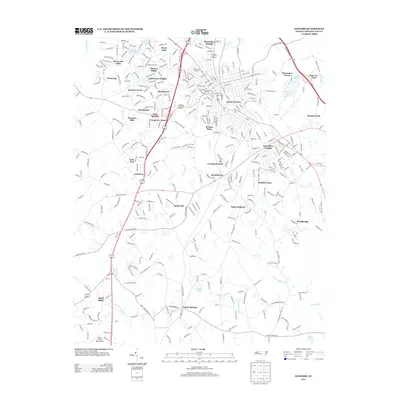
2013 Map of Sanford
USGS Topo · Published 2013About this map
Lemon Springs and the southern reaches of the city of Sanford define the character of this Lee County landscape in the early 21st century. The map illustrates a dense network of suburban expansion, where residential clusters like Jonesboro Heights, Courtland Acres, and Kendall Acres have established themselves alongside historic drainage systems. These neighborhoods are framed by a hydrographic network that includes Big Buffalo Cr to the north and the Upper Little River and Little Juniper Cr to the south.
Find a feature on this map
354 named features on this map. Tap any name to fly to it.
Don’t see what you’re looking for? This feature index may not catch every label — zoom into the map to look around manually.
Map Details
Editions of this 2013 Sanford Map
This is the sole edition of this map. No revisions or reprints were ever made.
Other maps of this area

1953 · Raleigh
USGS Topo · 1:250,000

1954 · Raleigh
USGS Topo · 1:250,000

1957 · Murchisontown
USGS Topo · 1:24,000
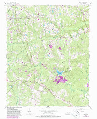
1957 · Olivia
USGS Topo · 1:24,000

1970 · Goldston
USGS Topo · 1:24,000

1970 · Colon
USGS Topo · 1:24,000

1970 · Moncure
USGS Topo · 1:24,000

1974 · White Hill
USGS Topo · 1:24,000
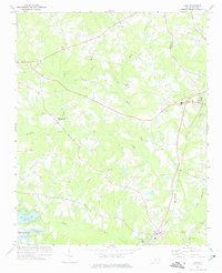
1974 · Vass
USGS Topo · 1:24,000

1974 · Sanford
USGS Topo · 1:24,000