
1943 Map of Santa Catalina East
USGS Topo · Published 1956About this map
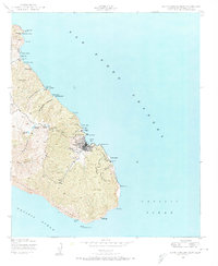
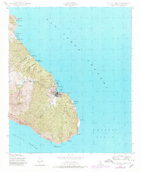
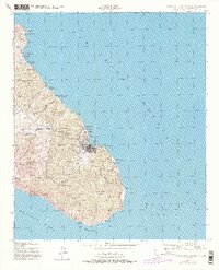
Avalon serves as the focal point of this wartime coastal survey, where the street grid and piers of the town meet the deep waters of Avalon Bay. Along the windward and leeward shores, the landscape is defined by its steep coastal geography, from the sheer Palisades in the south to a string of recreational and youth sites like YMCA Camp and Boy Scouts Camp to the north. These settlements represent a specific era of island development, mixed with industrial markers like the Renton Mine and a Power Plant near Pebbly Beach.
Find a feature on this map
44 named features on this map. Tap any name to fly to it.
Don’t see what you’re looking for? This feature index may not catch every label — zoom into the map to look around manually.
Map Details
Editions of this 1943 Santa Catalina East Map
4 editions found
Other maps of this area

1943 · Santa Catalina North
USGS Topo · 1:24,000

1943 · Santa Catalina South
USGS Topo · 1:24,000

1949 · Long Beach
USGS Topo · 1:250,000
1950 · Santa Catalina South
USGS Topo · 1:24,000
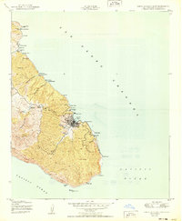
1950 · Santa Catalina East
USGS Topo · 1:24,000
1950 · Santa Catalina North
USGS Topo · 1:24,000

1957 · Long Beach
USGS Topo · 1:250,000

1958 · Long Beach
USGS Topo · 1:250,000

1960 · Long Beach
USGS Topo · 1:250,000
1981 · Santa Catalina Island
USGS Topo · 1:100,000