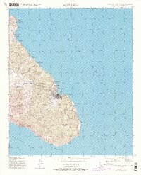
1943 Map of Santa Catalina East
USGS Topo · Published 1980About this map
Avalon serves as the primary hub of activity on the eastern end of Santa Catalina Island, showing the town's concentration of streets and piers around Avalon Bay. The interior landscape is marked by steep canyons and named peaks such as Whitleys Peak, with water management clearly prioritized through the Haypress Reservoir, Wrigley Reservoir, and Patrick Reservoir. Evidence of industrial and youth activity appears via Rentons Mine and the YMCA Camp near Long Point.
Find a feature on this map
43 named features on this map. Tap any name to fly to it.
Don’t see what you’re looking for? This feature index may not catch every label — zoom into the map to look around manually.
Map Details
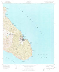
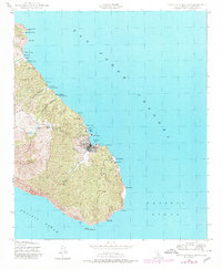
Editions of this 1943 Santa Catalina East Map
4 editions found
Other maps of this area

1943 · Santa Catalina North
USGS Topo · 1:24,000

1943 · Santa Catalina East
USGS Topo · 1:24,000

1943 · Santa Catalina South
USGS Topo · 1:24,000

1949 · Long Beach
USGS Topo · 1:250,000
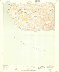
1950 · Santa Catalina South
USGS Topo · 1:24,000
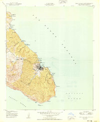
1950 · Santa Catalina East
USGS Topo · 1:24,000
1950 · Santa Catalina North
USGS Topo · 1:24,000

1957 · Long Beach
USGS Topo · 1:250,000

1958 · Long Beach
USGS Topo · 1:250,000

1960 · Long Beach
USGS Topo · 1:250,000