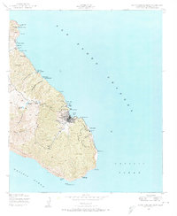
1943 Map of Santa Catalina East
USGS Topo · Published 1974About this map
Avalon serves as the focal point of this coastal landscape, situated along the sheltered waters of Avalon Bay and Descanso Bay. The settlement patterns show a mix of industrial and recreational development during the early 1940s, with a dedicated Power Plant at Pebbly Beach and the presence of several specialized outposts like the Boy Scouts Camp, YMCA Camp, and Camp Toyon. Inland, the terrain is defined by deep incisions such as Silver Canyon and Grand Canyon, which feed into the island's water management system including Wrigley Reservoir and Haypress Reservoir.
Find a feature on this map
43 named features on this map. Tap any name to fly to it.
Don’t see what you’re looking for? This feature index may not catch every label — zoom into the map to look around manually.
Map Details
Editions of this 1943 Santa Catalina East Map
4 editions found
Other maps of this area

1943 · Santa Catalina North
USGS Topo · 1:24,000

1943 · Santa Catalina East
USGS Topo · 1:24,000

1943 · Santa Catalina South
USGS Topo · 1:24,000

1949 · Long Beach
USGS Topo · 1:250,000
1950 · Santa Catalina South
USGS Topo · 1:24,000
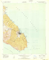
1950 · Santa Catalina East
USGS Topo · 1:24,000
1950 · Santa Catalina North
USGS Topo · 1:24,000

1957 · Long Beach
USGS Topo · 1:250,000

1958 · Long Beach
USGS Topo · 1:250,000

1960 · Long Beach
USGS Topo · 1:250,000