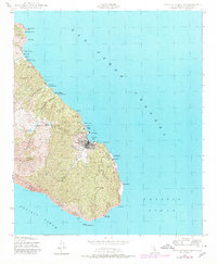
1943 Map of Santa Catalina East
USGS Topo · Published 1980About this map
The coastal settlement of Avalon serves as the focal point of this survey, which documents the eastern reaches of Santa Catalina Island during the mid-twentieth century. The map captures the specialized infrastructure required for island life, including the Wrigley Reservoir, Haypress Reservoir, and the local Power Plant at Pebbly Beach. Along the north-facing coast, a series of coves and landings—from Whites Landing and Moonstone Beach to Gallagher Beach—illustrate the maritime-dependent development of the era. High-elevation landmarks such as Bible Peak and Whitleys Peak overlook the deep incisions of Grand Canyon and Silver Canyon. These canyons descend toward the Palisades and the southern shoreline, where prominent maritime markers like Binnacle Rock and the Catalina Island East End Light guide traffic through the San Pedro Channel.
Find a feature on this map
42 named features on this map. Tap any name to fly to it.
Don’t see what you’re looking for? This feature index may not catch every label — zoom into the map to look around manually.
Map Details
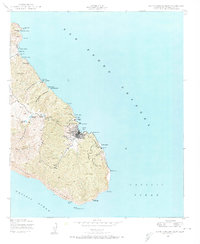
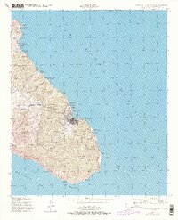
Editions of this 1943 Santa Catalina East Map
4 editions found
Other maps of this area

1943 · Santa Catalina North
USGS Topo · 1:24,000

1943 · Santa Catalina East
USGS Topo · 1:24,000

1943 · Santa Catalina South
USGS Topo · 1:24,000

1949 · Long Beach
USGS Topo · 1:250,000
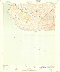
1950 · Santa Catalina South
USGS Topo · 1:24,000
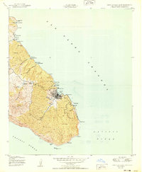
1950 · Santa Catalina East
USGS Topo · 1:24,000
1950 · Santa Catalina North
USGS Topo · 1:24,000

1957 · Long Beach
USGS Topo · 1:250,000

1958 · Long Beach
USGS Topo · 1:250,000

1960 · Long Beach
USGS Topo · 1:250,000