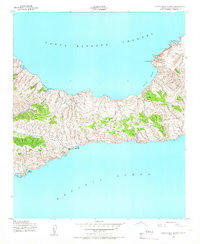
1943 Map of Santa Cruz Island C
USGS Topo · Published 1966About this map
Lookout Cabin stands as a solitary human landmark on this 1943 survey, overlooking a coastline defined by numerous maritime shelters. The map illustrates a landscape of strategic importance during the war years, with the Santa Barbara Channel to the north and the open Pacific Ocean to the south. Shoreline features suggest a history of maritime refuge, from the north-facing Prisoners Harbor and Chinese Harbor to southern inlets like Coches Prietos Anchorage. The rugged interior is punctuated by heights such as Mt Pleasant, while the surrounding waters are marked by specialized landing sites like Potato Harbor and Pelican Bay. This topography reflects the isolation of the island at mid-century, prior to modern conservation management, serving primarily as a navigation reference for the Department of the Army.
Find a feature on this map
13 named features on this map. Tap any name to fly to it.
Don’t see what you’re looking for? This feature index may not catch every label — zoom into the map to look around manually.
Map Details
Editions of this 1943 Santa Cruz Island C Map
5 editions found
Other maps of this area
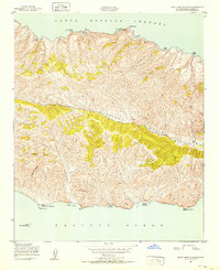
1943 · Santa Cruz Island B
USGS Topo · 1:24,000
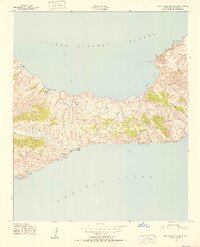
1943 · Santa Cruz Island C
USGS Topo · 1:24,000
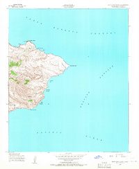
1943 · Santa Cruz Island D
USGS Topo · 1:24,000

1949 · Los Angeles
USGS Topo · 1:250,000

1949 · Long Beach
USGS Topo · 1:250,000

1955 · Los Angeles
USGS Topo · 1:250,000

1957 · Long Beach
USGS Topo · 1:250,000

1958 · Long Beach
USGS Topo · 1:250,000

1959 · Los Angeles
USGS Topo · 1:250,000

1960 · Long Beach
USGS Topo · 1:250,000