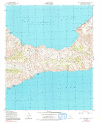
1943 Map of Santa Cruz Island C
USGS Topo · Published 1991About this map
The central ridges and northern coastlines of Santa Cruz Island are depicted here as they were documented by Fairchild Aerial Surveys during World War II. The island's topography is dominated by peaks like Mt Pleasant and Valley Peak, which overlook a series of strategic maritime points. Along the northern shore, the Santa Barbara Channel meets the land at Prisoners Harbor and Chinese Harbor, where a lone Lookout Cabin stands as one of the few man-made structures recorded. This era of mapping focused on the literal shape of the terrain and its accessibility from the sea, noting specific deep-water locations such as Valley Anchorage and Coches Prietos Anchorage on the southern coast. The lack of interior infrastructure highlights the island's isolation before modern developments, preserving a record of the shoreline from Potato Harbor to Pelican Bay in its mid-century state.
Find a feature on this map
14 named features on this map. Tap any name to fly to it.
Don’t see what you’re looking for? This feature index may not catch every label — zoom into the map to look around manually.
Map Details
Editions of this 1943 Santa Cruz Island C Map
5 editions found
Other maps of this area
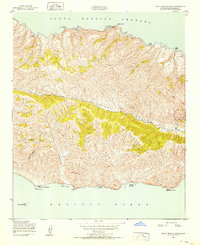
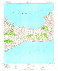
1943 · Santa Cruz Island B
USGS Topo · 1:24,000
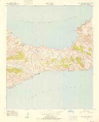
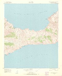
1943 · Santa Cruz Island C
USGS Topo · 1:24,000
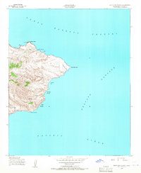
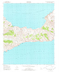
1943 · Santa Cruz Island D
USGS Topo · 1:24,000

1949 · Los Angeles
USGS Topo · 1:250,000

1949 · Long Beach
USGS Topo · 1:250,000

1955 · Los Angeles
USGS Topo · 1:250,000

1957 · Long Beach
USGS Topo · 1:250,000

1958 · Long Beach
USGS Topo · 1:250,000

1959 · Los Angeles
USGS Topo · 1:250,000

1960 · Long Beach
USGS Topo · 1:250,000