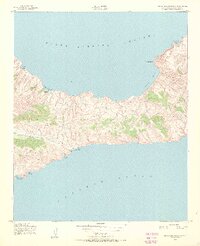
1943 Map of Santa Cruz Island C
USGS Topo · Published 1971About this map
Lookout Cabin stands as a solitary human marker amidst the complex topography of this central portion of Santa Cruz Island. Mapped during the height of the Second World War for the Army Map Service, the terrain transitions from the high point of Mt Pleasant down to a coastline defined by numerous sheltered coves. The northern shore, facing the Santa Barbara Channel, features deep indentations at Prisoners Harbor and Chinese Harbor, while the southern cliffs drop toward the Pacific Ocean. This survey preserves the island's coastal geography before later developments, highlighting a maritime landscape where named points like Coche Point and various landings, including Coches Prietos Anchorage and Valley Anchorage, served as the primary interfaces between the island's interior and the sea.
Find a feature on this map
13 named features on this map. Tap any name to fly to it.
Don’t see what you’re looking for? This feature index may not catch every label — zoom into the map to look around manually.
Map Details
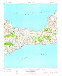
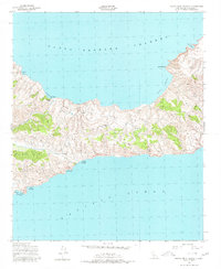
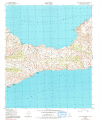
Editions of this 1943 Santa Cruz Island C Map
5 editions found
Other maps of this area
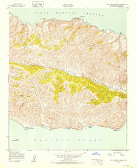
1943 · Santa Cruz Island B
USGS Topo · 1:24,000
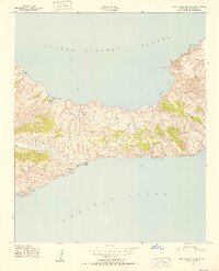
1943 · Santa Cruz Island C
USGS Topo · 1:24,000
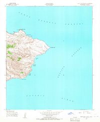
1943 · Santa Cruz Island D
USGS Topo · 1:24,000

1949 · Los Angeles
USGS Topo · 1:250,000

1949 · Long Beach
USGS Topo · 1:250,000

1955 · Los Angeles
USGS Topo · 1:250,000

1957 · Long Beach
USGS Topo · 1:250,000

1958 · Long Beach
USGS Topo · 1:250,000

1959 · Los Angeles
USGS Topo · 1:250,000

1960 · Long Beach
USGS Topo · 1:250,000