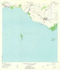
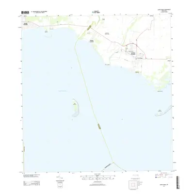
1960 Map of Santa Isabel
USGS Topo · Published 1962About this map
The agricultural and coastal landscape of southern Puerto Rico is defined here by the sugar-producing infrastructure of the mid-20th century. Central Cortada stands near the mouth of the Río Descalabrado, while Santa Isabel serves as a central hub for the surrounding fields and shoreline settlements. The map illustrates a transitional economy where established estates like Hacienda Florida and Hacienda Alomar exist alongside newer developments like the Aeropuerto de Santa Isabel. To the south, the Caribbean Sea shoreline is marked by distinct coastal villages such as Playita Cortada and Playa de Santa Isabel. Maritime features include the prominent Cayo Berbería and the sheltered Bahía de Rincón, while the inland irrigation and transport network is anchored by the Estación Santa Isabel.
Find a feature on this map
35 named features on this map. Tap any name to fly to it.
Don’t see what you’re looking for? This feature index may not catch every label — zoom into the map to look around manually.
Map Details
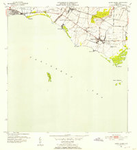
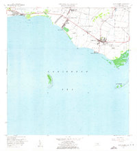
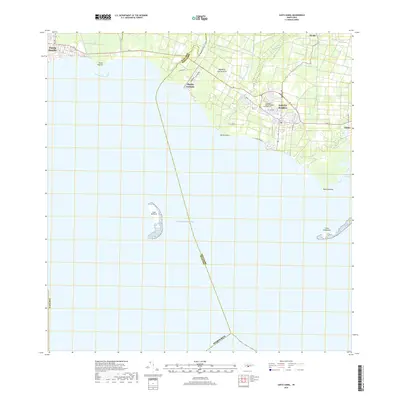
Editions of this 1960 Santa Isabel Map
2 editions found
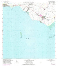
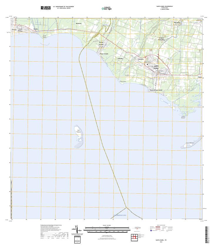
Historical Maps of Santa Isabel Through Time
7 maps found

1944 Santa Isabel
Santa Isabel Municipio, PR
1952 Santa Isabel
Santa Isabel Municipio, PR
1960 Santa Isabel
Santa Isabel Municipio, PR
1972 Santa Isabel
Santa Isabel Municipio, PR
2013 Santa Isabel
Santa Isabel Municipio, PR
2018 Santa Isabel
Santa Isabel Municipio, PR
2024 Santa Isabel
Santa Isabel Municipio, PR
Featured Locations
- Santa Isabel
- Bizarreta, Juana Díaz
- Pastillo, Juana Díaz
- Santa Isabel, Santa Isabel
- Estación Santa Isabel, Santa Isabel