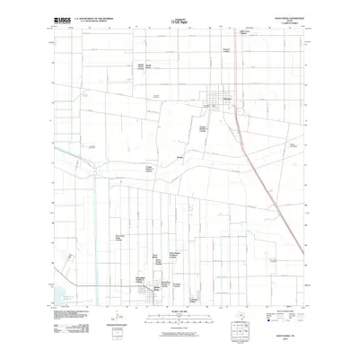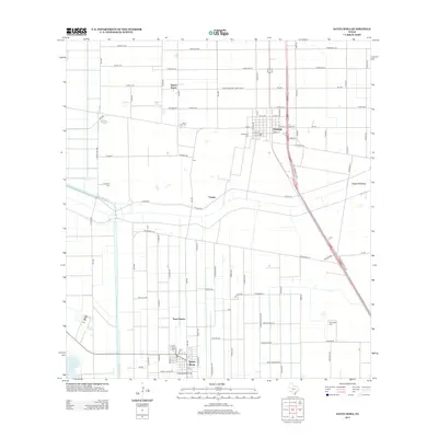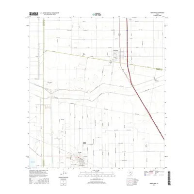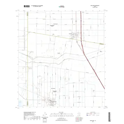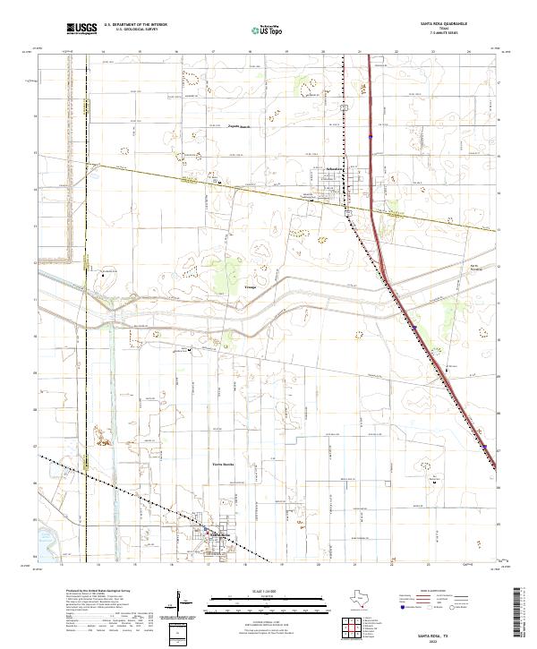
2022 Map of Santa Rosa
USGS Topo · Published 2022About this map
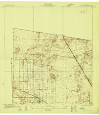
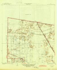
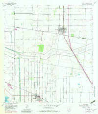
Santa Rosa serves as a hub for this agricultural portion of the Rio Grande Valley, where a network of irrigation and drainage infrastructure like the Willacy Canal and the North Floodway defines the landscape. The map captures a transition of jurisdictions, as the borders of Hidalgo, Willacy, and Cameron counties converge near Zapata Ranch and the community of Sebastian. This area is characterized by smaller rural settlements and ranch sites connected by a grid of farm-to-market roads and county lines.
Find a feature on this map
58 named features on this map. Tap any name to fly to it.
Don’t see what you’re looking for? This feature index may not catch every label — zoom into the map to look around manually.
Map Details
Editions of this 2022 Santa Rosa Map
This is the sole edition of this map. No revisions or reprints were ever made.
Historical Maps of Santa Rosa Through Time
8 maps found