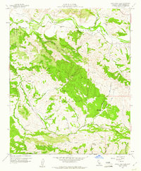
1959 Map of Santa Rosa Hills
USGS Topo · Published 1961About this map
Rancho San Julian and the expansive canyon lands of Santa Barbara County are mapped here during the late 1950s, a landscape defined by traditional ranching boundaries and rugged coastal topography. The Santa Ynez River flows across the northern reach, where the Rincanada Sch served the rural families of the valley. Significant land grants like Rancho de los Llanitos are clearly delineated, reflecting the region's heritage of large-scale landholdings.
Find a feature on this map
37 named features on this map. Tap any name to fly to it.
Don’t see what you’re looking for? This feature index may not catch every label — zoom into the map to look around manually.
Map Details
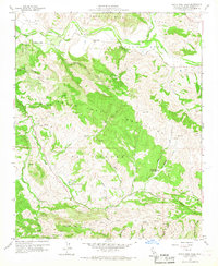
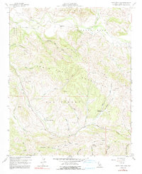
Editions of this 1959 Santa Rosa Hills Map
3 editions found
Other maps of this area

1905 · Lompoc
USGS Topo · 1:125,000

1942 · Lompoc
USGS Topo · 1:125,000

1942 · Lompoc
USGS Topo · 1:62,500

1942 · Pt. Conception
USGS Topo · 1:62,500

1942 · Gaviota
USGS Topo · 1:62,500

1942 · Los Olivos
USGS Topo · 1:62,500

1943 · Los Olivos
USGS Topo · 1:62,500

1943 · Lompoc
USGS Topo · 1:125,000

1943 · Gaviota
USGS Topo · 1:62,500

1947 · Lompoc
USGS Topo · 1:24,000