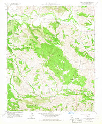
1959 Map of Santa Rosa Hills
USGS Topo · Published 1967About this map
The Santa Ynez River carves a broad valley through the northern landscape of this Santa Barbara County terrain, where the Santa Rosa (Cota) and Santa Rita (Malo) grants define historical land use. Central to the area are the Santa Rosa Hills, a series of ridges separating the river valley from the southern canyons. Transportation and settlement patterns are dictated by the winding path of El Jaro Creek and the Cabrillo Highway, which serves as a primary artery through the southern hills.
Find a feature on this map
39 named features on this map. Tap any name to fly to it.
Don’t see what you’re looking for? This feature index may not catch every label — zoom into the map to look around manually.
Map Details
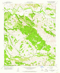
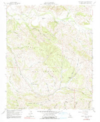
Editions of this 1959 Santa Rosa Hills Map
3 editions found
Other maps of this area

1905 · Lompoc
USGS Topo · 1:125,000

1942 · Lompoc
USGS Topo · 1:125,000

1942 · Lompoc
USGS Topo · 1:62,500

1942 · Pt. Conception
USGS Topo · 1:62,500

1942 · Gaviota
USGS Topo · 1:62,500

1942 · Los Olivos
USGS Topo · 1:62,500

1943 · Los Olivos
USGS Topo · 1:62,500

1943 · Lompoc
USGS Topo · 1:125,000

1943 · Gaviota
USGS Topo · 1:62,500

1947 · Lompoc
USGS Topo · 1:24,000