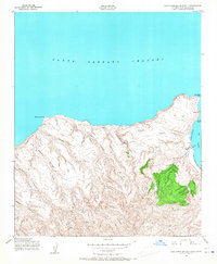
1943 Map of Santa Rosa Island North
USGS Topo · Published 1968About this map
Bechers Bay and the northern coastline of Santa Rosa Island are documented here during a 1943 survey conducted for the Army Map Service. The landscape is defined by its dramatic drainage systems, including Arlington Canyon, Cañada Verde, and Cañada Soledad, which carve through the island's interior toward the Santa Barbara Channel. A solitary Ranch overlooks the Northwest Anchorage, representing the primary human footprint on this isolated terrain at the time of the field check.
Find a feature on this map
19 named features on this map. Tap any name to fly to it.
Don’t see what you’re looking for? This feature index may not catch every label — zoom into the map to look around manually.
Map Details
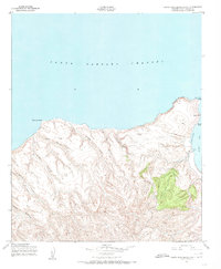
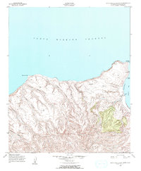
Editions of this 1943 Santa Rosa Island North Map
4 editions found
Other maps of this area
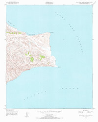
1943 · Santa Rosa Island East
USGS Topo · 1:24,000
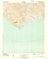
1943 · Santa Rosa Island South
USGS Topo · 1:24,000
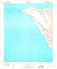
1943 · Santa Rosa Island West
USGS Topo · 1:24,000
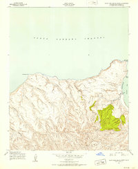
1943 · Santa Rosa Island North
USGS Topo · 1:24,000

1948 · Santa Maria
USGS Topo · 1:250,000

1956 · Santa Maria
USGS Topo · 1:250,000

1957 · Santa Maria
USGS Topo · 1:250,000

1958 · Santa Maria
USGS Topo · 1:250,000

1962 · Santa Maria
USGS Topo · 1:250,000
1981 · Point Conception
USGS Topo · 1:100,000