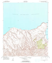
1943 Map of Santa Rosa Island North
USGS Topo · Published 1974About this map
Santa Barbara Channel waters meet the steep northern coastline of Santa Rosa Island in this mid-century survey. The landscape is defined by deep drainage systems such as Arlington Canyon and Cañada Soledad, which cut through the interior heights of Black Mountain and Round Top. Coastal navigation is anchored by Northwest Anchorage and Bechers Bay, where the solitary Ranch settlement serves as the primary outpost of human activity.
Find a feature on this map
24 named features on this map. Tap any name to fly to it.
Don’t see what you’re looking for? This feature index may not catch every label — zoom into the map to look around manually.
Map Details
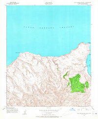
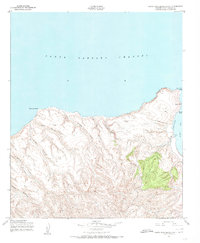
Editions of this 1943 Santa Rosa Island North Map
4 editions found
Other maps of this area
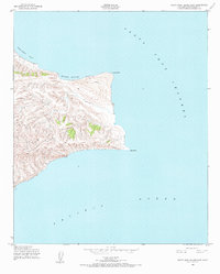
1943 · Santa Rosa Island East
USGS Topo · 1:24,000
1943 · Santa Rosa Island South
USGS Topo · 1:24,000
1943 · Santa Rosa Island West
USGS Topo · 1:24,000
1943 · Santa Rosa Island North
USGS Topo · 1:24,000

1948 · Santa Maria
USGS Topo · 1:250,000

1956 · Santa Maria
USGS Topo · 1:250,000

1957 · Santa Maria
USGS Topo · 1:250,000

1958 · Santa Maria
USGS Topo · 1:250,000

1962 · Santa Maria
USGS Topo · 1:250,000
1981 · Point Conception
USGS Topo · 1:100,000