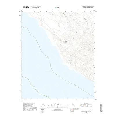
2018 Map of Santa Rosa Island West
USGS Topo · Published 2018About this map
Channel Islands National Park encompasses the northwest terrain of this island landscape, where deep drainage systems meet the Pacific Ocean. This 2018 survey illustrates the physical geography of a protected coastal environment defined by narrow canyons that cut through high elevations toward the sea. The hydrological network is dominated by major outlets such as Arlington Canyon, along with the neighboring Cañada Tecolote and Cañada Soledad. These seasonal watercourses carve the upland slopes, creating a distinct topographical profile of ridges and draws that has remained largely free of modern development. The map serves as a primary record of the island's shoreline and interior canyons within Santa Barbara County, providing an exact account of the natural features and park boundaries during the early twenty-first century.
Find a feature on this map
5 named features on this map. Tap any name to fly to it.
Don’t see what you’re looking for? This feature index may not catch every label — zoom into the map to look around manually.
Map Details
Editions of this 2018 Santa Rosa Island West Map
This is the sole edition of this map. No revisions or reprints were ever made.
Other maps of this area
1943 · Santa Rosa Island South
USGS Topo · 1:24,000
1943 · Santa Rosa Island West
USGS Topo · 1:24,000
1943 · Santa Rosa Island North
USGS Topo · 1:24,000
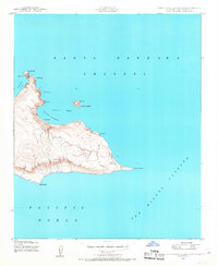
1943 · San Miguel Island East
USGS Topo · 1:24,000

1948 · Santa Maria
USGS Topo · 1:250,000
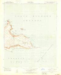
1950 · San Miguel Island East
USGS Topo · 1:24,000

1956 · Santa Maria
USGS Topo · 1:250,000

1957 · Santa Maria
USGS Topo · 1:250,000

1958 · Santa Maria
USGS Topo · 1:250,000

1962 · Santa Maria
USGS Topo · 1:250,000