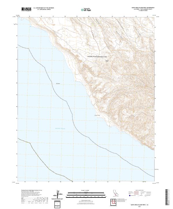
2021 Map of Santa Rosa Island West
USGS Topo · Published 2021About this map
Channel Islands National Park encompasses the western reaches of Santa Rosa Island, where a network of primitive tracks like Orrs Camp Road Trl and Trancion Road Trl provides the only overland access across the high ridges. The landscape is defined by deep drainage systems, most notably the winding paths of Arlington Canyon, Cañada Soledad, and Cañada Tecolote, which cut through the uplifted terrain toward the coastline.
Find a feature on this map
11 named features on this map. Tap any name to fly to it.
Don’t see what you’re looking for? This feature index may not catch every label — zoom into the map to look around manually.
Map Details
Editions of this 2021 Santa Rosa Island West Map
This is the sole edition of this map. No revisions or reprints were ever made.
Other maps of this area
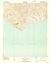
1943 · Santa Rosa Island South
USGS Topo · 1:24,000
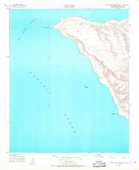
1943 · Santa Rosa Island West
USGS Topo · 1:24,000
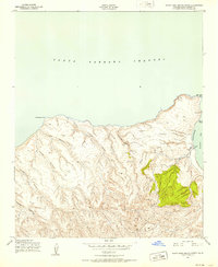
1943 · Santa Rosa Island North
USGS Topo · 1:24,000
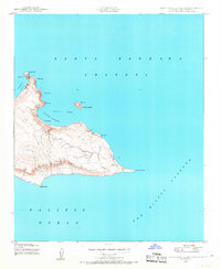
1943 · San Miguel Island East
USGS Topo · 1:24,000

1948 · Santa Maria
USGS Topo · 1:250,000
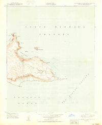
1950 · San Miguel Island East
USGS Topo · 1:24,000

1956 · Santa Maria
USGS Topo · 1:250,000

1957 · Santa Maria
USGS Topo · 1:250,000

1958 · Santa Maria
USGS Topo · 1:250,000

1962 · Santa Maria
USGS Topo · 1:250,000