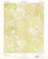
1967 Map of Sanville
USGS Topo · Published 1969About this map
Stones Store and the central village of Sanville anchor this mid-1960s survey of the rural borderlands between Patrick and Henry Counties. The landscape is defined by the winding course of the North Mayo River and numerous tributaries like Koger Creek and Blackberry Creek. The social fabric of these tobacco-growing foothills is evidenced by a high density of country sanctuaries, including Old Center Ch, Goodwill Ch, and County Line Ch.
Find a feature on this map
33 named features on this map. Tap any name to fly to it.
Don’t see what you’re looking for? This feature index may not catch every label — zoom into the map to look around manually.
Map Details
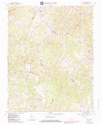
Editions of this 1967 Sanville Map
2 editions found
Other maps of this area

1924 · Martinsville
USGS Topo · 1:48,000

1925 · Rocky Mount
USGS Topo · 1:48,000

1926 · Martinsville
USGS Topo · 1:62,500

1926 · Critz
USGS Topo · 1:48,000

1927 · Rocky Mount
USGS Topo · 1:62,500

1927 · Martinsville
USGS Topo · 1:62,500

1928 · Critz
USGS Topo · 1:62,500

1944 · Martinsville
USGS Topo · 1:62,500

1944 · Rocky Mount
USGS Topo · 1:62,500

1953 · Winston-Salem
USGS Topo · 1:250,000