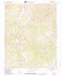
1967 Map of Sanville
USGS Topo · Published 1984About this map
The Patrick and Henry County line divides this rural landscape, where tobacco and timber culture shaped the ridge-and-valley settlement pattern. Tiny hamlets like Sanville and Blackberry serve as local hubs, connected by winding routes that follow the drainage of Blackberry Creek and the North Mayo River. A dense concentration of rural institutions anchors the community, including several historic congregations such as Old Center Ch and Mt Calvary Ch, alongside local education sites like the Pleasant View Sch and Spencer Sch. In the southern reaches, the transition to modern infrastructure is marked by the presence of the Blue Ridge Airport, while the northern terrain is dominated by the prominence of Hogpen Mountain. This 1967 survey, updated in the early 1980s, preserves the mid-century footprint of small Virginia crossroads like Stones Store and Stella.
Find a feature on this map
40 named features on this map. Tap any name to fly to it.
Don’t see what you’re looking for? This feature index may not catch every label — zoom into the map to look around manually.
Map Details
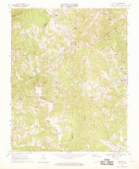
Editions of this 1967 Sanville Map
2 editions found
Other maps of this area

1924 · Martinsville
USGS Topo · 1:48,000

1925 · Rocky Mount
USGS Topo · 1:48,000

1926 · Martinsville
USGS Topo · 1:62,500

1926 · Critz
USGS Topo · 1:48,000

1927 · Rocky Mount
USGS Topo · 1:62,500

1927 · Martinsville
USGS Topo · 1:62,500

1928 · Critz
USGS Topo · 1:62,500

1944 · Martinsville
USGS Topo · 1:62,500

1944 · Rocky Mount
USGS Topo · 1:62,500

1953 · Winston-Salem
USGS Topo · 1:250,000