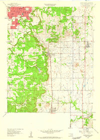
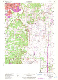
1958 Map of Sapulpa South
USGS Topo · Published 1959About this map
Sapulpa serves as the northern anchor of this mid-century landscape, where industrial and educational development cluster along the St Louis San Francisco railroad corridor. The map reveals a dense network of civic institutions at the heart of the community, from Sacred Heart Sch and Washington Sch to the Bartlett Hospital. As the terrain shifts southward toward the communities of Kiefer and Mounds, the influence of the regional petroleum industry is evident in the numerous oil wells scattered across the drainage basins of Polecat Creek and North Duck Creek.
Find a feature on this map
38 named features on this map. Tap any name to fly to it.
Don’t see what you’re looking for? This feature index may not catch every label — zoom into the map to look around manually.
Map Details
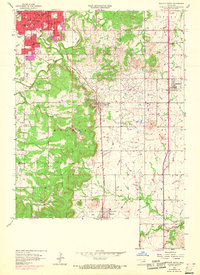
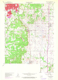
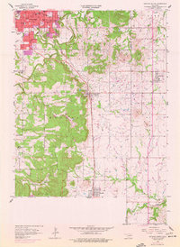
Editions of this 1958 Sapulpa South Map
5 editions found
Other maps of this area

1896 · Okmulgee
USGS Topo · 1:125,000

1900 · Okmulgee
USGS Topo · 1:125,000

1901 · Claremore
USGS Topo · 1:125,000

1901 · Nuyaka
USGS Topo · 1:125,000

1912 · Hominy
USGS Topo · 1:125,000

1914 · Kiefer
USGS Topo · 1:62,500

1914 · Claremore
USGS Topo · 1:125,000

1915 · Hominy
USGS Topo · 1:125,000

1916 · Kiefer
USGS Topo · 1:62,500

1916 · Claremore
USGS Topo · 1:125,000