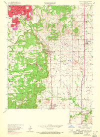
1958 Map of Sapulpa South
USGS Topo · Published 1968About this map
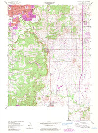
Oil wells and industrial development punctuate the landscape of the Oklahoma oil patch south of Sapulpa in this mid-century survey. The southern expansion of the city is evident, featuring community landmarks such as Bartlett Hospital, Jefferson Sch, and South Heights Cemetery. The map captures the corridor between the Creek and Tulsa county line, where the St Louis San Francisco railroad connects established settlements like Kiefer and Mounds. Away from the urban centers, the terrain transitions into the drainage basins of Polecat Creek and North Duck Creek. Rural life is anchored by a network of local institutions, including the Lone Star Sch, St Johns Ch, and the Picket Chapel near Picket Prairie, offering a detailed view of the region's social and industrial geography before the full onset of modern suburbanization.
Find a feature on this map
39 named features on this map. Tap any name to fly to it.
Don’t see what you’re looking for? This feature index may not catch every label — zoom into the map to look around manually.
Map Details
Editions of this 1958 Sapulpa South Map
5 editions found
Other maps of this area

1896 · Okmulgee
USGS Topo · 1:125,000

1900 · Okmulgee
USGS Topo · 1:125,000

1901 · Claremore
USGS Topo · 1:125,000

1901 · Nuyaka
USGS Topo · 1:125,000

1912 · Hominy
USGS Topo · 1:125,000

1914 · Kiefer
USGS Topo · 1:62,500

1914 · Claremore
USGS Topo · 1:125,000

1915 · Hominy
USGS Topo · 1:125,000

1916 · Kiefer
USGS Topo · 1:62,500

1916 · Claremore
USGS Topo · 1:125,000