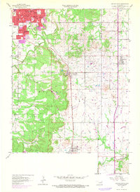
1958 Map of Sapulpa South
USGS Topo · Published 1968About this map
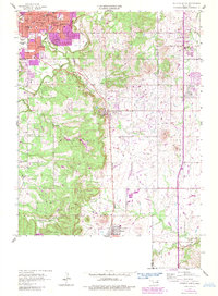
Sapulpa sits at the northern edge of this Creek County landscape, where the urban expansion of the late 1960s meets an active petroleum landscape. The terrain is defined by the heavy presence of Oil Wells scattered across the ridges and valleys, particularly surrounding the settlements of Kiefer and Glenpool. This industrial activity is woven into a community fabric of small schools and rural parishes, such as Lone Star Sch and St Johns Ch. The St Louis San Francisco railroad cuts a diagonal path through the center of the sheet, providing the primary transportation corridor connecting the oil-rich fields to the northern trade centers. Waterways like Polecat Creek and Duck Creek wind through the hills, while landmarks like the Bartlett Hospital and South Heights Cemetery mark the enduring civic footprint of the area.
Find a feature on this map
37 named features on this map. Tap any name to fly to it.
Don’t see what you’re looking for? This feature index may not catch every label — zoom into the map to look around manually.
Map Details
Editions of this 1958 Sapulpa South Map
5 editions found
Other maps of this area

1896 · Okmulgee
USGS Topo · 1:125,000

1900 · Okmulgee
USGS Topo · 1:125,000

1901 · Claremore
USGS Topo · 1:125,000

1901 · Nuyaka
USGS Topo · 1:125,000

1912 · Hominy
USGS Topo · 1:125,000

1914 · Kiefer
USGS Topo · 1:62,500

1914 · Claremore
USGS Topo · 1:125,000

1915 · Hominy
USGS Topo · 1:125,000

1916 · Kiefer
USGS Topo · 1:62,500

1916 · Claremore
USGS Topo · 1:125,000