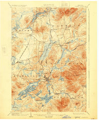
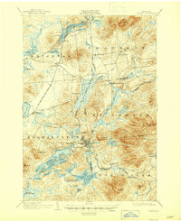
1904 Map of Saranac
USGS Topo · Published 1925About this map
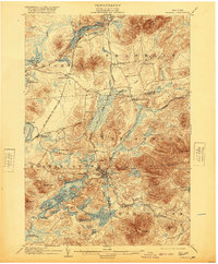
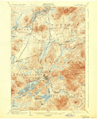
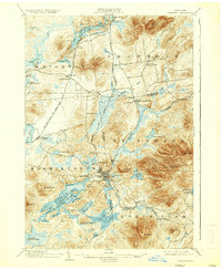
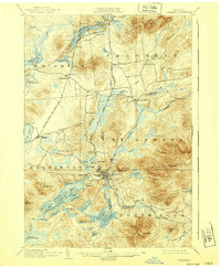
Saranac Lake serves as the central hub of this early twentieth-century mountain landscape, which was then defined by a sophisticated network of passenger rail and sanatorium life. The New York Central and Hudson River R. R. and the Chateaugay Branch of the Delaware and Hudson converge here, facilitating the seasonal influx of visitors and patients to landmarks like Trudeau and Paul Smiths.
Find a feature on this map
82 named features on this map. Tap any name to fly to it.
Don’t see what you’re looking for? This feature index may not catch every label — zoom into the map to look around manually.
Map Details
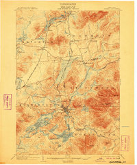
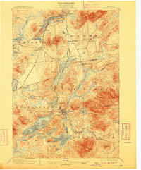
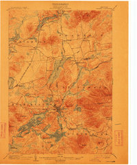
Editions of this 1904 Saranac Map
10 editions found
Other maps of this area

1895 · Mt. Marcy
USGS Topo · 1:62,500

1896 · Lake Placid
USGS Topo · 1:62,500

1898 · Lake Placid
USGS Topo · 1:62,500

1902 · Mt. Marcy
USGS Topo · 1:62,500

1902 · Saranac
USGS Topo · 1:62,500

1904 · Saranac
USGS Topo · 1:62,500

1904 · Santanoni
USGS Topo · 1:62,500

1904 · Long Lake
USGS Topo · 1:62,500

1905 · Saint Regis
USGS Topo · 1:62,500

1906 · Loon Lake
USGS Topo · 1:62,500