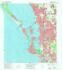
1973 Map of Sarasota
USGS Topo · Published 1975About this map
Sarasota's coastal development and intricate barrier island network are captured here during a period of significant growth. The urban core, centered around Main St and Fruitville Road, extends south toward Sarasota Heights and the waterfront at Bay Point. On the mainland, the Seaboard Coast Line railroad and the Tamiami Trail provide the primary transit corridors, while numerous schools like Booker Schools and the Sarasota Vocational Sch reflect the community's mid-century expansion.
Find a feature on this map
98 named features on this map. Tap any name to fly to it.
Don’t see what you’re looking for? This feature index may not catch every label — zoom into the map to look around manually.
Map Details
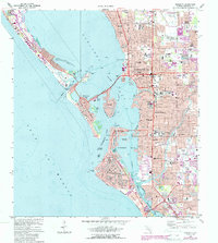
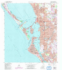
Editions of this 1973 Sarasota Map
3 editions found
Other maps of this area

1943 · Laurel
USGS Topo · 1:24,000

1944 · Bird Keys
USGS Topo · 1:31,680

1944 · Sarasota
USGS Topo · 1:31,680

1944 · Laurel
USGS Topo · 1:31,680

1944 · Lorraine
USGS Topo · 1:31,680

1944 · Bradenton Beach
USGS Topo · 1:31,680

1947 · Bradenton
USGS Topo · 1:24,000

1947 · Bee Ridge
USGS Topo · 1:24,000

1956 · Tampa
USGS Topo · 1:250,000

1959 · Tampa
USGS Topo · 1:250,000