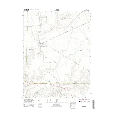
2013 Map of Sardinia
USGS Topo · Published 2013About this map
Sardinia and Mowrystown anchor this rural landscape along the boundary of Brown and Highland Counties, where a network of state routes and creek-side roads connects several smaller settlements. The terrain is defined by the branching waters of the N Fork White Oak Creek and East Fork White Oak Creek, which drain a countryside dotted with agricultural landmarks like the Memory Lane Tree Farm and Workman Farm. Local history is deeply embedded in the land, marked by numerous family and community burial grounds such as Hollowtown Cem, Higgins Cem, and Ebenezer Cem. Smaller locales like Buford, Gath, and Needfull appear as concentrated hubs of activity along the thoroughfares of Oh-134 and Oh-138. The map documents a traditional Ohio township structure where crossroads like these have maintained their identity through generations of local farming and trade.
Find a feature on this map
88 named features on this map. Tap any name to fly to it.
Don’t see what you’re looking for? This feature index may not catch every label — zoom into the map to look around manually.
Map Details
Editions of this 2013 Sardinia Map
This is the sole edition of this map. No revisions or reprints were ever made.
Other maps of this area

1917 · Hillsboro
USGS Topo · 1:62,500

1917 · Sardinia
USGS Topo · 1:62,500

1918 · Seaman
USGS Topo · 1:62,500

1928 · Higginsport
USGS Topo · 1:48,000

1931 · Higginsport
USGS Topo · 1:62,500

1944 · Hillsboro
USGS Topo · 1:62,500

1944 · Sardinia
USGS Topo · 1:62,500

1947 · Columbus
USGS Topo · 1:250,000

1957 · Huntington
USGS Topo · 1:250,000

1960 · Huntington
USGS Topo · 1:250,000