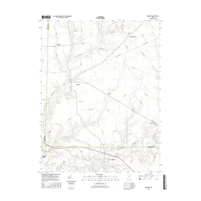
2016 Map of Sardinia
USGS Topo · Published 2016About this map
Sardinia and Mowrystown anchor the southern reaches of this landscape, situated along the border of Brown and Highland counties. The region is defined by an intricate network of waterways, including East Fork White Oak Creek and the Middle Run, which carve through the terrain near Mount Orab. This 2016 survey documents the enduring rural structure of the area, where small unincorporated settlements like Buford, Gath, and Needfull are connected by a dense grid of township roads. Genealogists and local historians will find significant value in the distribution of family and community burial grounds, such as Hollowtown Cem, Bells Run Cem, and the Wright Cem. The geography reflects a long-standing agricultural pattern, with homesteads clustered around drainage points like Slabcamp Run and Twin Run, maintaining a character that has persisted through generations in this part of southern Ohio.
Find a feature on this map
92 named features on this map. Tap any name to fly to it.
Don’t see what you’re looking for? This feature index may not catch every label — zoom into the map to look around manually.
Map Details
Editions of this 2016 Sardinia Map
This is the sole edition of this map. No revisions or reprints were ever made.
Other maps of this area

1917 · Hillsboro
USGS Topo · 1:62,500

1917 · Sardinia
USGS Topo · 1:62,500

1918 · Seaman
USGS Topo · 1:62,500

1928 · Higginsport
USGS Topo · 1:48,000

1931 · Higginsport
USGS Topo · 1:62,500

1944 · Hillsboro
USGS Topo · 1:62,500

1944 · Sardinia
USGS Topo · 1:62,500

1947 · Columbus
USGS Topo · 1:250,000

1957 · Huntington
USGS Topo · 1:250,000

1960 · Huntington
USGS Topo · 1:250,000