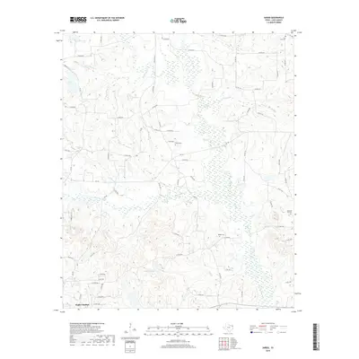
2019 Map of Sardis
USGS Topo · Published 2019About this map
Hughes Springs anchors the southwest corner of this Cass County landscape, where the terrain is defined by a dense network of creek bottoms and small drainages. The hydrology of the area is particularly complex, with Black Cypress Cr and its many tributaries like Kelly Cr and Caney Cr winding through the countryside. This 2019 survey documents the modern road network, including numerous county roads and farm-to-market routes such as FM 130 and FM 250, which connect scattered residential pockets and rural homesteads.
Find a feature on this map
70 named features on this map. Tap any name to fly to it.
Don’t see what you’re looking for? This feature index may not catch every label — zoom into the map to look around manually.
Map Details
Editions of this 2019 Sardis Map
This is the sole edition of this map. No revisions or reprints were ever made.
Other maps of this area

1910 · Linden
USGS Topo · 1:62,500

1914 · Daingerfield
USGS Topo · 1:62,500

1953 · Texarkana
USGS Topo · 1:250,000

1956 · Texarkana
USGS Topo · 1:250,000

1956 · Tyler
USGS Topo · 1:250,000

1961 · Cunningham Creek
USGS Topo · 1:24,000

1962 · Avinger
USGS Topo · 1:24,000

1962 · Lone Star
USGS Topo · 1:24,000

1964 · Daingerfield
USGS Topo · 1:24,000

1965 · Marietta
USGS Topo · 1:24,000