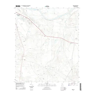
2014 Map of Sardis
USGS Topo · Published 2014About this map
The Alabama River defines the northern reaches of this Dallas County landscape, winding past Tarver Bar as it flows toward the Gulf. This 2014 survey captures a rural Alabama interior marked by agricultural patterns and the enduring footprint of Craig Field, located just south of the Selmont-West Selmont community. To the south and east, the terrain becomes increasingly defined by its watercourses, including the dendritic drainage of Sixmile Cr, Fourmile Cr, and the extensive Soapstone Cr system. Small settlements like Sardis, Tyler, and Polk serve as local hubs connected by a network of county roads and Us-80. The map is particularly useful for genealogical research, identifying several rural burial sites such as Shiloh Cem, Mt Olive Cem, and Sister Spring Cem. These landmarks, along with the numerous creek crossings like Lias Cr and Berlin Br, provide a clear picture of the historical and modern navigation of this river-valley region.
Find a feature on this map
94 named features on this map. Tap any name to fly to it.
Don’t see what you’re looking for? This feature index may not catch every label — zoom into the map to look around manually.
Map Details
Editions of this 2014 Sardis Map
This is the sole edition of this map. No revisions or reprints were ever made.
Other maps of this area

1953 · Montgomery
USGS Topo · 1:250,000

1956 · Montgomery
USGS Topo · 1:250,000

1957 · Montgomery
USGS Topo · 1:250,000

1957 · Carlowville
USGS Topo · 1:62,500

1957 · Benton
USGS Topo · 1:62,500

1957 · Braggs
USGS Topo · 1:62,500

1958 · Selma
USGS Topo · 1:62,500

1958 · Selma
USGS Topo · 1:24,000

1975 · Benton SE
USGS Topo · 1:24,000

1975 · Selma SE
USGS Topo · 1:24,000