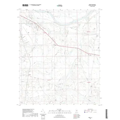
2018 Map of Sardis
USGS Topo · Published 2018About this map
The Alabama River carves the northern boundary of this Dallas County landscape, where the shifting waters have created features like Tarver Bar. Inland, the terrain is defined by a network of creeks, including Sixmile Cr, Fourmile Cr, and Soapstone Creek, which feed into local catchments such as Hawthorne Lake and Plummer Lake. The settlement patterns here reflect a rural Alabama economy, with small communities like Sardis, Casey, and Tyler situated along the road network.
Find a feature on this map
84 named features on this map. Tap any name to fly to it.
Don’t see what you’re looking for? This feature index may not catch every label — zoom into the map to look around manually.
Map Details
Editions of this 2018 Sardis Map
This is the sole edition of this map. No revisions or reprints were ever made.
Other maps of this area

1953 · Montgomery
USGS Topo · 1:250,000

1956 · Montgomery
USGS Topo · 1:250,000

1957 · Montgomery
USGS Topo · 1:250,000

1957 · Carlowville
USGS Topo · 1:62,500

1957 · Benton
USGS Topo · 1:62,500

1957 · Braggs
USGS Topo · 1:62,500

1958 · Selma
USGS Topo · 1:62,500

1958 · Selma
USGS Topo · 1:24,000

1975 · Benton SE
USGS Topo · 1:24,000

1975 · Selma SE
USGS Topo · 1:24,000