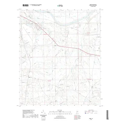
2020 Map of Sardis
USGS Topo · Published 2020About this map
Alabama River bottomlands and the aviation legacy of Craig Field define this part of Dallas County. The landscape is a network of small creeks and backwaters, including Sixmile Cr, Soapstone Creek, and Hawthorne Lake, alongside the prominent Tarver Bar on the river’s southern bank. Rural settlements and crossroads like Casey, Sardis, Polk, and Tyler anchor the region, connected by a dense web of county roads such as Old Montgomery Rd and Gibbs Rd. This area is particularly notable for its scattered historic burial grounds, including Shiloh Cem, Mount Olive Cem, Moore Cem, and Sister Spring Cem, which serve as vital landmarks for genealogical research. The mapping of t16n r11e and surrounding townships provides a clear view of how modern transportation corridors have integrated with traditional family-named landmarks and the winding path of Fourmile Cr.
Find a feature on this map
76 named features on this map. Tap any name to fly to it.
Don’t see what you’re looking for? This feature index may not catch every label — zoom into the map to look around manually.
Map Details
Editions of this 2020 Sardis Map
This is the sole edition of this map. No revisions or reprints were ever made.
Other maps of this area

1953 · Montgomery
USGS Topo · 1:250,000

1956 · Montgomery
USGS Topo · 1:250,000

1957 · Montgomery
USGS Topo · 1:250,000

1957 · Carlowville
USGS Topo · 1:62,500

1957 · Benton
USGS Topo · 1:62,500

1957 · Braggs
USGS Topo · 1:62,500

1958 · Selma
USGS Topo · 1:62,500

1958 · Selma
USGS Topo · 1:24,000

1975 · Benton SE
USGS Topo · 1:24,000

1975 · Selma SE
USGS Topo · 1:24,000