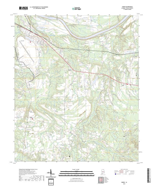
2024 Map of Sardis
USGS Topo · Published 2024About this map
The Alabama River meanders across this Dallas County landscape, defining the northern geography through features like Tarver Bar. This modern survey reveals a region shaped by its aviation and military history at Craig Field, while the surrounding rural communities of Sardis and Casey maintain a traditional network of country roads and local landmarks. The area's social history is preserved in several burial grounds, including the Shiloh Baptist Church Cem and Sister Spring Cem, which serve as vital markers for genealogical research.
Find a feature on this map
91 named features on this map. Tap any name to fly to it.
Don’t see what you’re looking for? This feature index may not catch every label — zoom into the map to look around manually.
Map Details
Editions of this 2024 Sardis Map
This is the sole edition of this map. No revisions or reprints were ever made.
Other maps of this area

1953 · Montgomery
USGS Topo · 1:250,000

1956 · Montgomery
USGS Topo · 1:250,000

1957 · Montgomery
USGS Topo · 1:250,000

1957 · Carlowville
USGS Topo · 1:62,500

1957 · Benton
USGS Topo · 1:62,500

1957 · Braggs
USGS Topo · 1:62,500

1958 · Selma
USGS Topo · 1:62,500

1958 · Selma
USGS Topo · 1:24,000

1975 · Benton SE
USGS Topo · 1:24,000

1975 · Selma SE
USGS Topo · 1:24,000