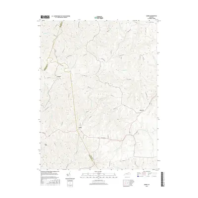
2016 Map of Sardis
USGS Topo · Published 2016About this map
Sardis sits at the convergence of several winding country roads where Bracken, Mason, and Robertson counties meet. This rural landscape is defined by the sinuous path of the N Fork Licking River, which carves through the undulating topography alongside numerous smaller waterways like Two Lick Cr and Shannon Cr. The settlement patterns here follow the ridges and hollows, with small hubs like Abigail and Shannon connected by historic routes including the Three Lick Pike. Geographic landmarks such as Ogden Ridge and Middleton Hill provide natural elevation markers in an area characterized by dispersed farmsteads and agricultural land. The intricate network of family-named roads, from Pumpelly Ln to Henson Ridge Rd, reflects a long history of local land ownership and the persistence of traditional rural boundary lines in this part of Kentucky.
Find a feature on this map
59 named features on this map. Tap any name to fly to it.
Don’t see what you’re looking for? This feature index may not catch every label — zoom into the map to look around manually.
Map Details
Editions of this 2016 Sardis Map
This is the sole edition of this map. No revisions or reprints were ever made.
Other maps of this area

1915 · Maysville
USGS Topo · 1:62,500

1919 · Maysville
USGS Topo · 1:62,500

1952 · Cowan
USGS Topo · 1:24,000

1952 · Germantown
USGS Topo · 1:24,000

1952 · Elizaville
USGS Topo · 1:24,000

1952 · Maysville West
USGS Topo · 1:24,000

1952 · Sardis
USGS Topo · 1:24,000

1952 · Mount Olivet
USGS Topo · 1:24,000

1952 · Piqua
USGS Topo · 1:24,000
1952 · Mays Lick
USGS Topo · 1:24,000