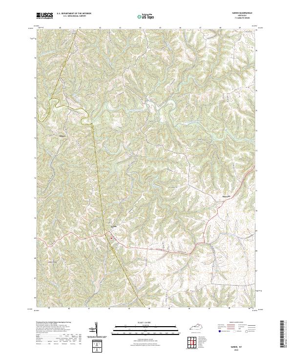
2022 Map of Sardis
USGS Topo · Published 2022About this map
Sardis serves as a central hub in this modern mapping of the rolling landscapes where Mason Co meets Bracken Co and Robertson Co. The topography is defined by the winding course of the N Fork Licking River, which snakes through the northern portion of the region, flanked by numerous small drainage basins like Shannon Cr and Two Lick Cr. These waterways have carved the distinct ridges and hollows that dictate the local road network, such as the prominent Ogden Ridge and the secluded Hoppy Hollow.
Find a feature on this map
62 named features on this map. Tap any name to fly to it.
Don’t see what you’re looking for? This feature index may not catch every label — zoom into the map to look around manually.
Map Details
Editions of this 2022 Sardis Map
This is the sole edition of this map. No revisions or reprints were ever made.
Other maps of this area

1915 · Maysville
USGS Topo · 1:62,500

1919 · Maysville
USGS Topo · 1:62,500

1952 · Cowan
USGS Topo · 1:24,000

1952 · Germantown
USGS Topo · 1:24,000

1952 · Elizaville
USGS Topo · 1:24,000

1952 · Maysville West
USGS Topo · 1:24,000

1952 · Sardis
USGS Topo · 1:24,000

1952 · Mount Olivet
USGS Topo · 1:24,000

1952 · Piqua
USGS Topo · 1:24,000
1952 · Mays Lick
USGS Topo · 1:24,000