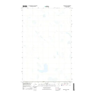
2014 Map of Sarles NE OE N
USGS Topo · Published 2014About this map
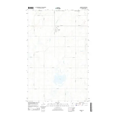
The international border with Canada defines the northern edge of this high-plains landscape in North Dakota. As part of a 2014 survey by the U.S. Geological Survey, the mapping depicts an area of glacial prairie potholes and scattered water bodies. The most prominent hydrologic feature is Crystal Creek, which meanders across the central portion of the quadrangle. This specific environment is characteristic of the northern reach of Cavalier County, where the terrain is dominated by the natural drainage patterns of small basins rather than dense road networks or established settlements. The lack of cultural labels reflects the open, agricultural character of the region along the border at the time of this survey.
Find a feature on this map
2 named features on this map. Tap any name to fly to it.
Don’t see what you’re looking for? This feature index may not catch every label — zoom into the map to look around manually.
Map Details
Editions of this 2014 Sarles NE OE N Map
This is the sole edition of this map. No revisions or reprints were ever made.
Other maps of this area

1953 · Devils Lake
USGS Topo · 1:250,000

1956 · Devils Lake
USGS Topo · 1:250,000

1970 · Sarles NE
USGS Topo · 1:24,000

1970 · Sarles
USGS Topo · 1:24,000

1970 · Hannah
USGS Topo · 1:24,000

1985 · Langdon
USGS Topo · 1:100,000
2011 · Sarles NE
USGS Topo · 1:24,000
2011 · Hannah
USGS Topo · 1:24,000
2011 · Sarles
USGS Topo · 1:24,000
2014 · Hannah
USGS Topo · 1:24,000